
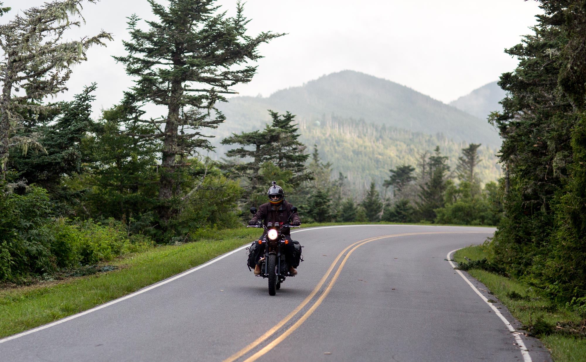
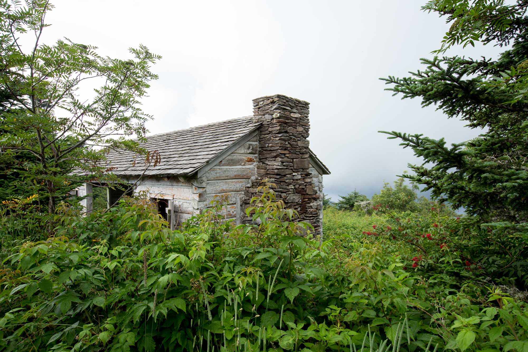
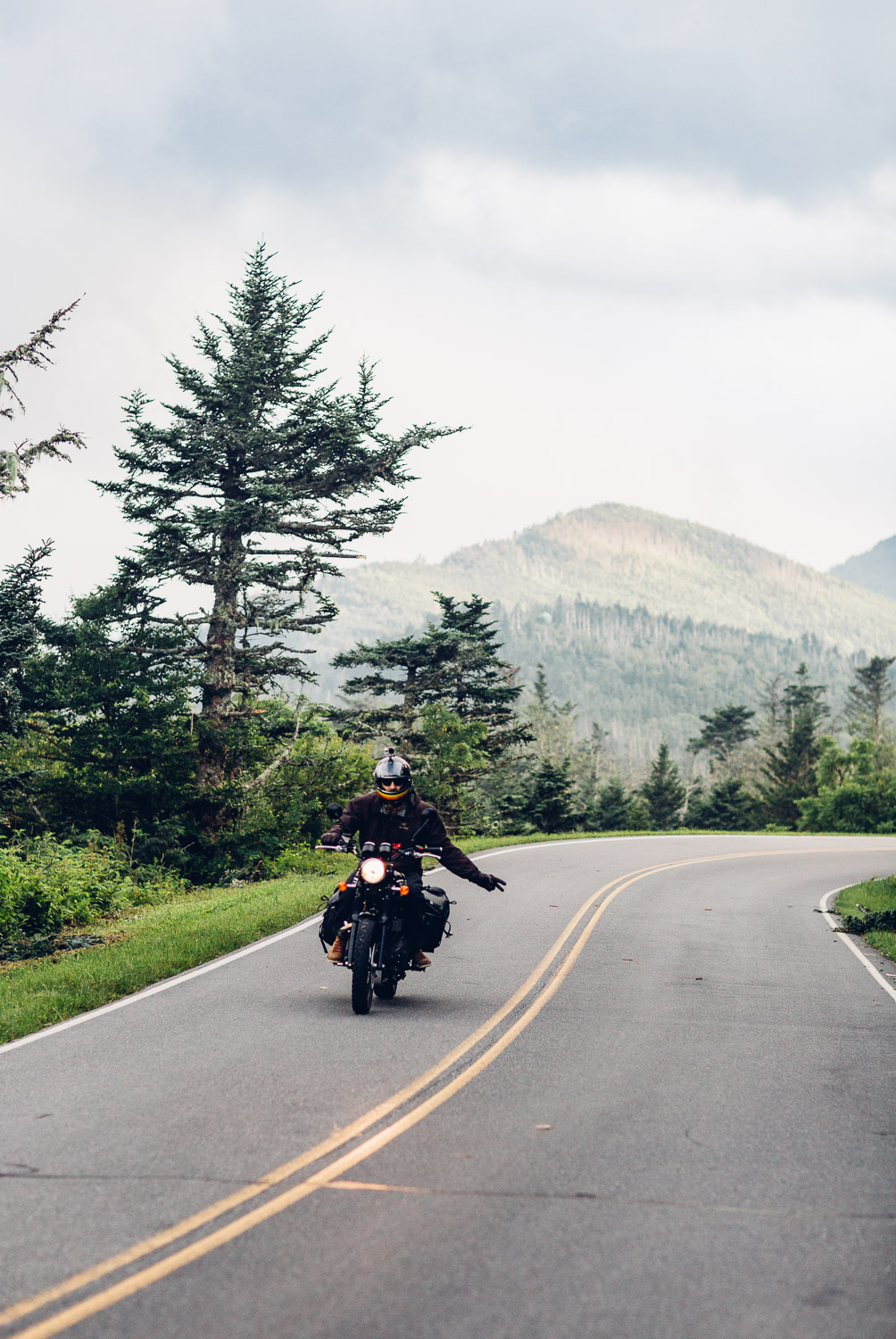
The Blue Ridge Parkway
The end of extended trips are brutal, at least for us. We get in a simple routine that at this point feels more natural than being at "home". We've done a bunch of these things over the years and the same feelings keep bubbling up every time...
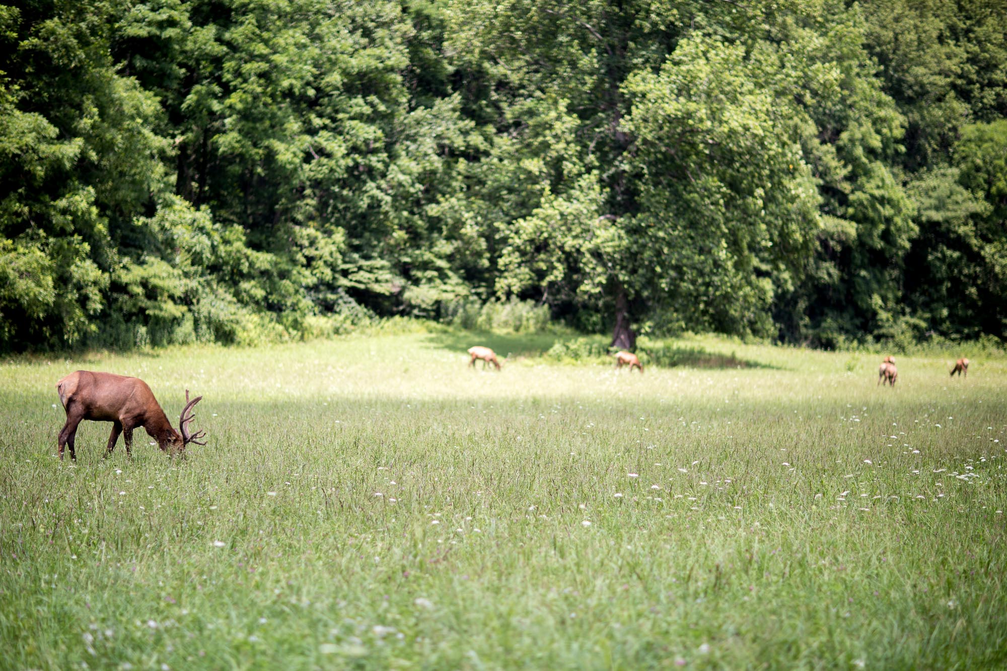
But before we allowed ourselves to get too far down that mental pathway, we stopped on our way south to hit part of the Blue Ridge Trail and The Great Smokey Mountains National Park.

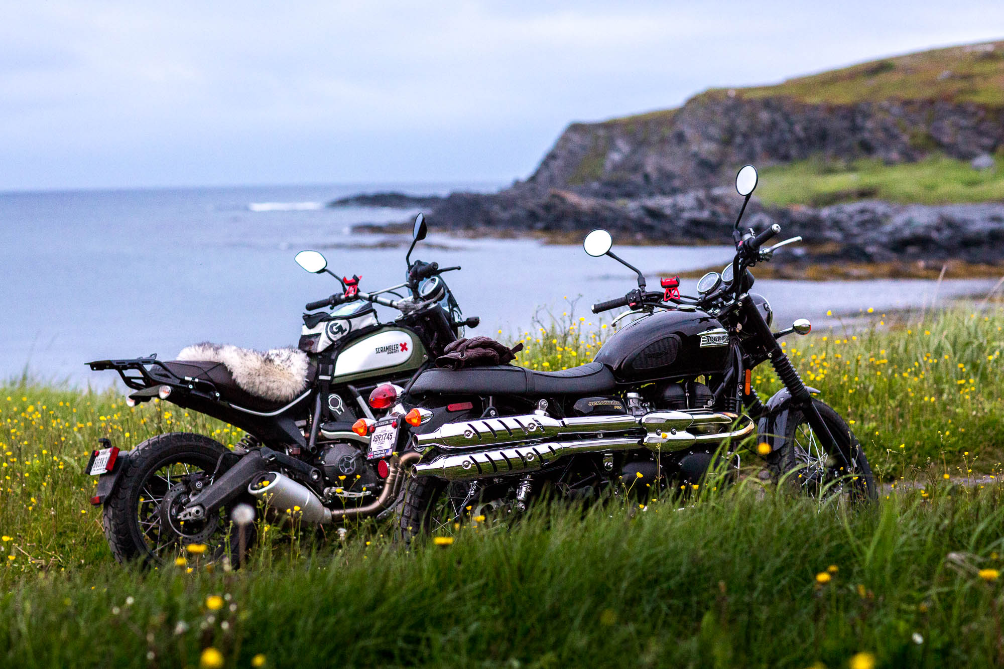
The Parkway spans several states and meanders through the Appalachian Mountains. It's kind of a must for bikers coming through the area and even though we'd been here before on our BMW, it was Kristen's first time riding her own bike. Lots of curves, well groomed, and smooth pavement.
Oh, and rain. My gear is really just a windbreaker at this point...
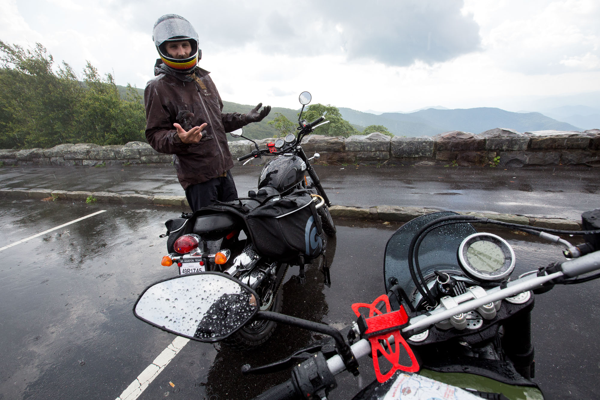
This place is not the worst.


The Adirondacks

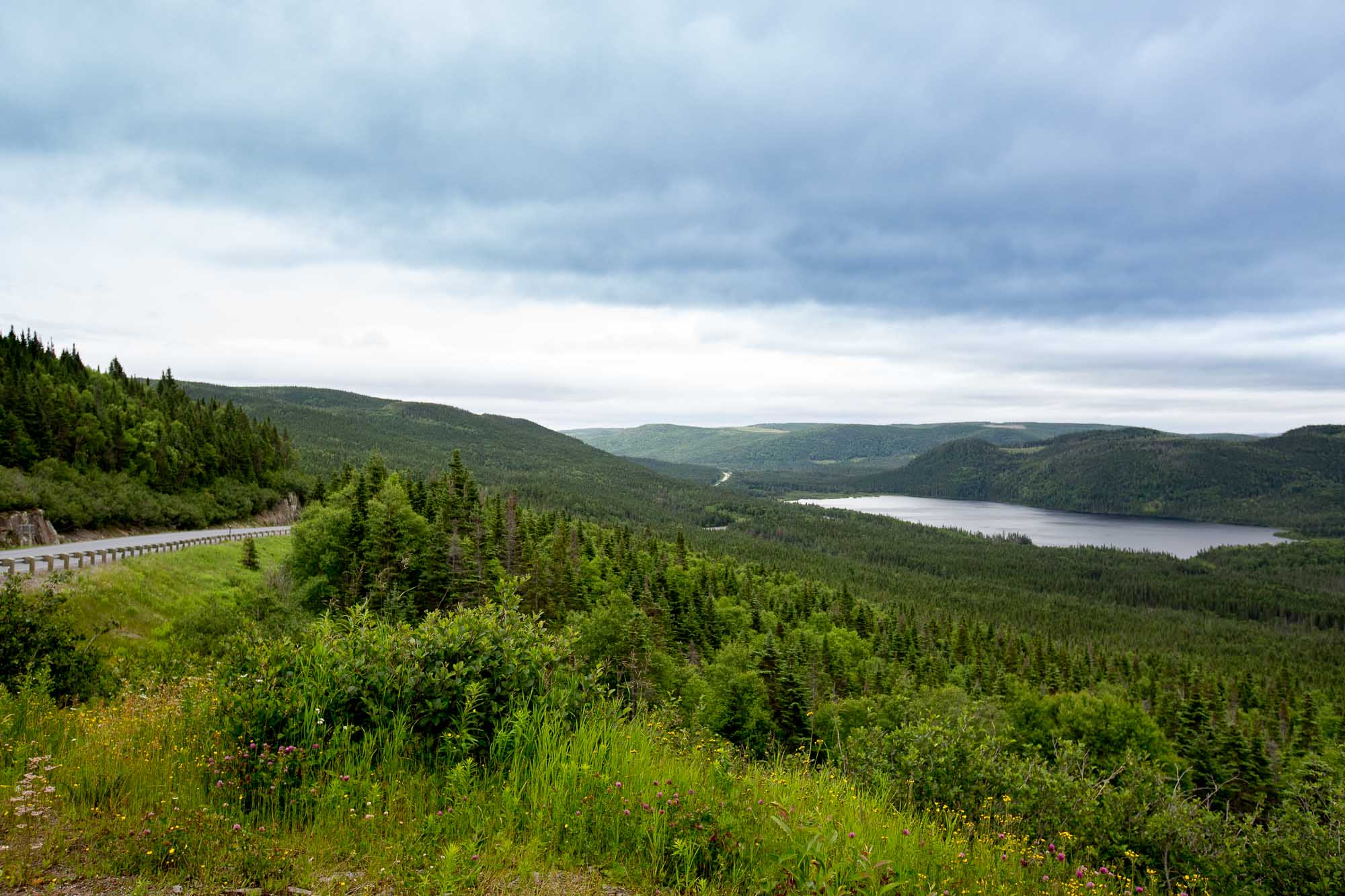
After messing about in Newfoundland for about a week (we needed a month), we had to push pretty hard south and back into the US. We took a bit of a detour through Quebec and Montreal and then on to upstate New York.
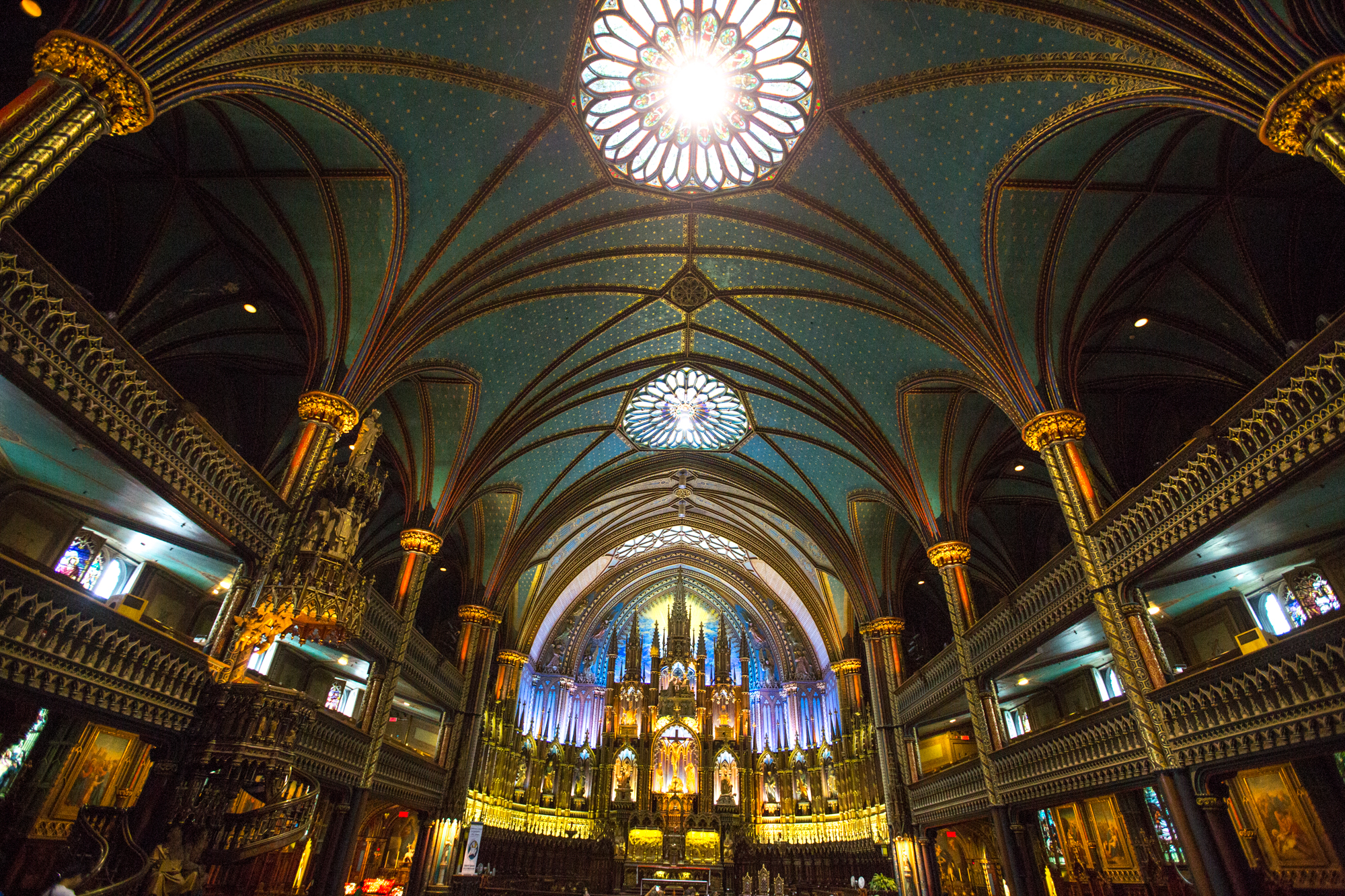
Montreal actually seemed like a pretty interesting place but we were nearly drowned in a torrential downpour that reminded me how bad my rain gear has become - I either need to treat it again or splurge for a new jacket!
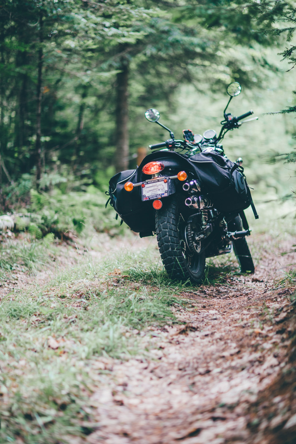
After hitting the border, we literally began to just wander through the Adirondacks with zero plan. With absolutely no idea what we were supposed to experience, we eventually ended up in a tiny town near Whiteface Mountain and called it a day. Turns out our instincts were right...


After a serious lack of showers, we decided on a motor inn. This is kind of a weird quirk about me, but I love motels where you park right in front of the room. It's awesome for motorcycle travel. This is kind of irrelevant normally, but the owner of this particular place, Billy from the Alpine Motor Inn, was such cool guy and so good to bikers that it's worth a mention.

Billy turned us on to a bunch of great rides through the area and we ended up at the fifth highest mountain in the US...


After a couple of days of cool and crisp riding, we had to press on again. We are not looking forward to the heat...

L'Anse aux Meadows and the End of the Road

Earlier in the day, we had spotted it. A jagged, raw strut of land that reached out defiantly to the sea. It was the perfect vantage point.
After riding around through the small fishing villages that are tucked away along the northwest coast of Newfoundland, we rode back over to the cliff as the sun was starting to lower. We took the bikes as far as we could on the single track leading up to the hills and eventually left them with cameras and drone in tow to hike up.
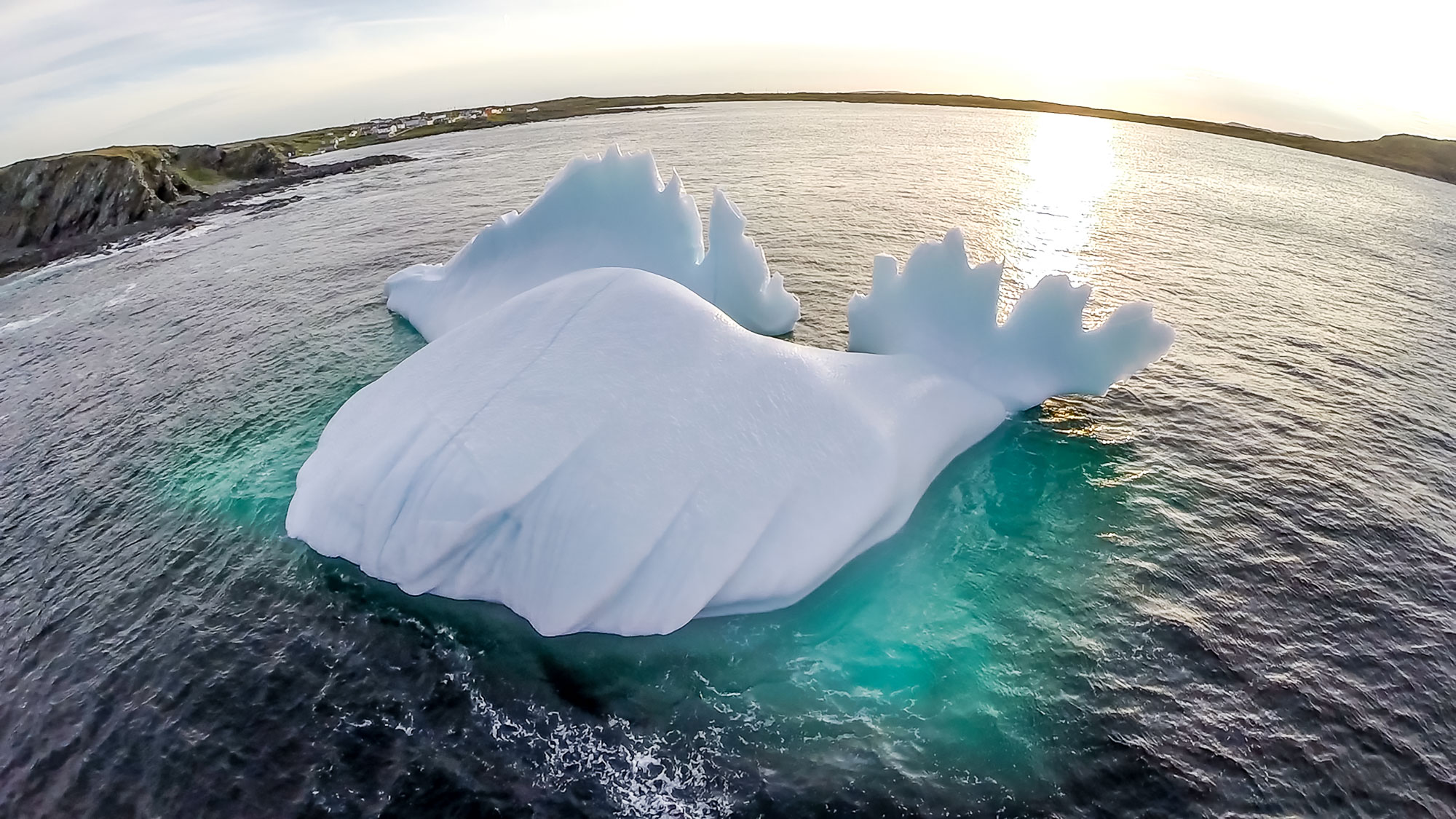
And suddenly we were there, all alone on a remote cliff's edge at what seemed like the end of the world. The wind screamed through us, the sun dragged across the rugged landscape, and 800 feet below us, an impossibly blue iceberg took it's final stand.


The night before leaving Gros Morne National Park, we hit up a few out of the way places where my drone wouldn't be a problem. These things have become a public enemy as of late, mostly because there is a group of pilots that can't figure out that they shouldn't fly in heavily populated areas. It's all common sense to me. Either way, the video we can get from it is so cool. I'm excited to put one together at the end of this trip.

Western Brook Pond in the background...

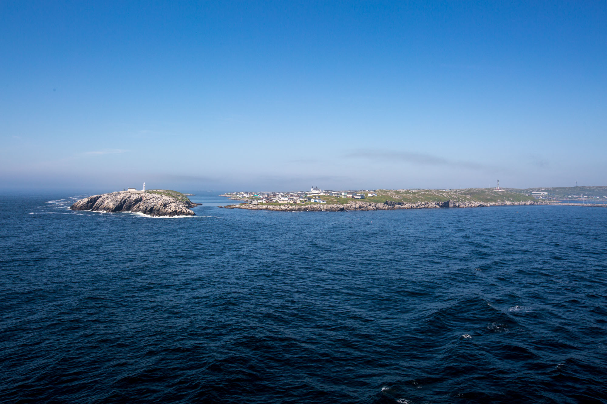
We headed north towards Twilingate because we had heard there were icebergs in the area. At a gas stop, however, someone told us about www.icebergfinder.com which shows confirmed iceberg sightings (I don't know why, but I'm kind of obsessed with this site). So, seeing a ton of ice near the less populated, harder to get to St. Anthony, we made our way north. We ended up near this place, about as far north as you can go in Newfoundland:

We spent a couple of days riding around the nearby towns and scoping out areas to take pics of icebergs. It was unsurprisingly freezing, by the way...


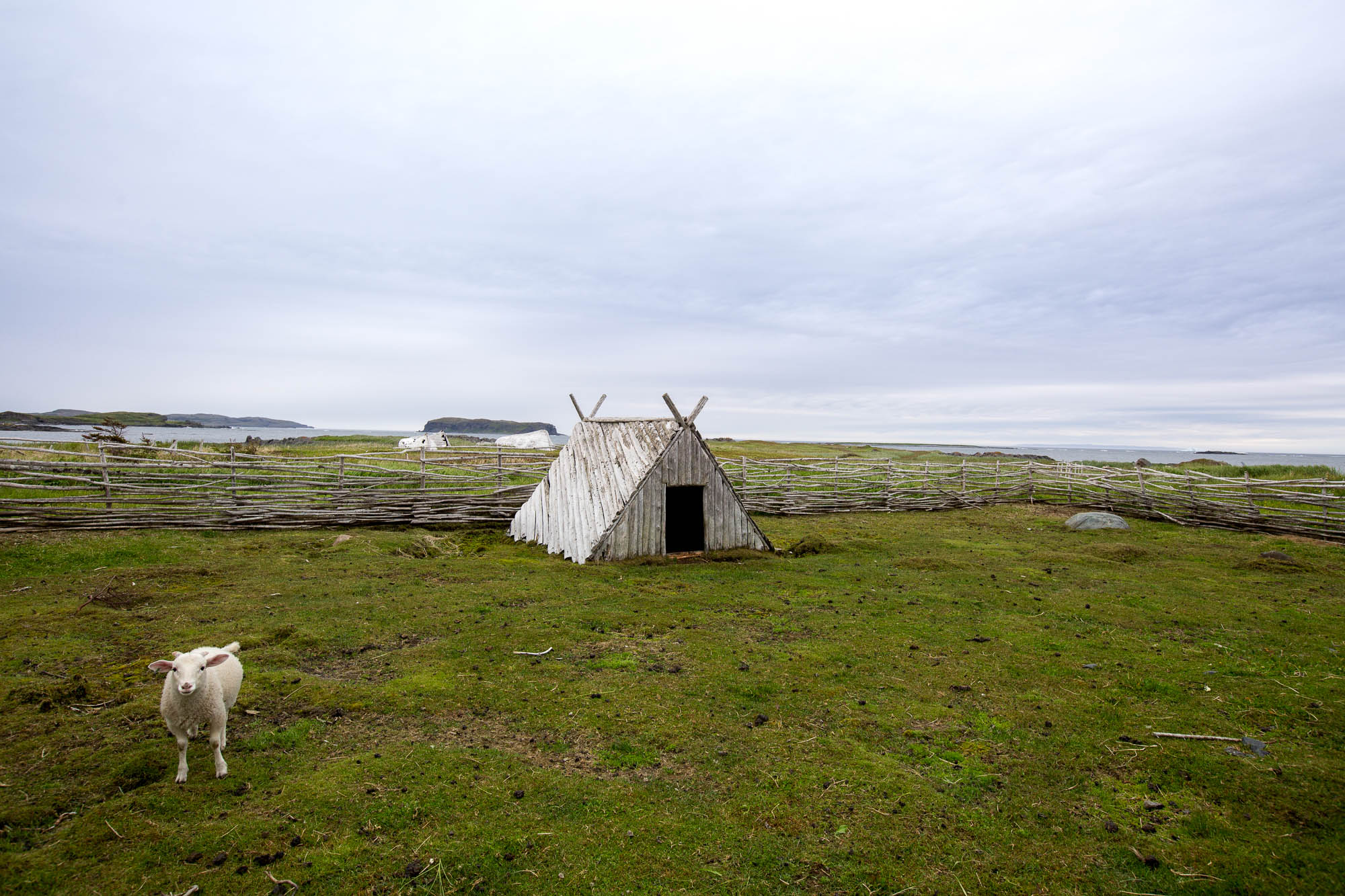
It sounds a little hokey, but the Viking Village was actually kind of great. Some people built a traditional Viking vessel and actually sailed it up here several years ago. Also, with my now formidable beard I think I'm becoming more viking-like every day...


Then, one evening we had our "moment" of the trip. At this point in our marriage we can just look at each other with a certain expression, and our complete and utter feeling of gratitude is conveyed. I flew the drone for awhile, Kris took some pics, but more than anything we just soaked it in.


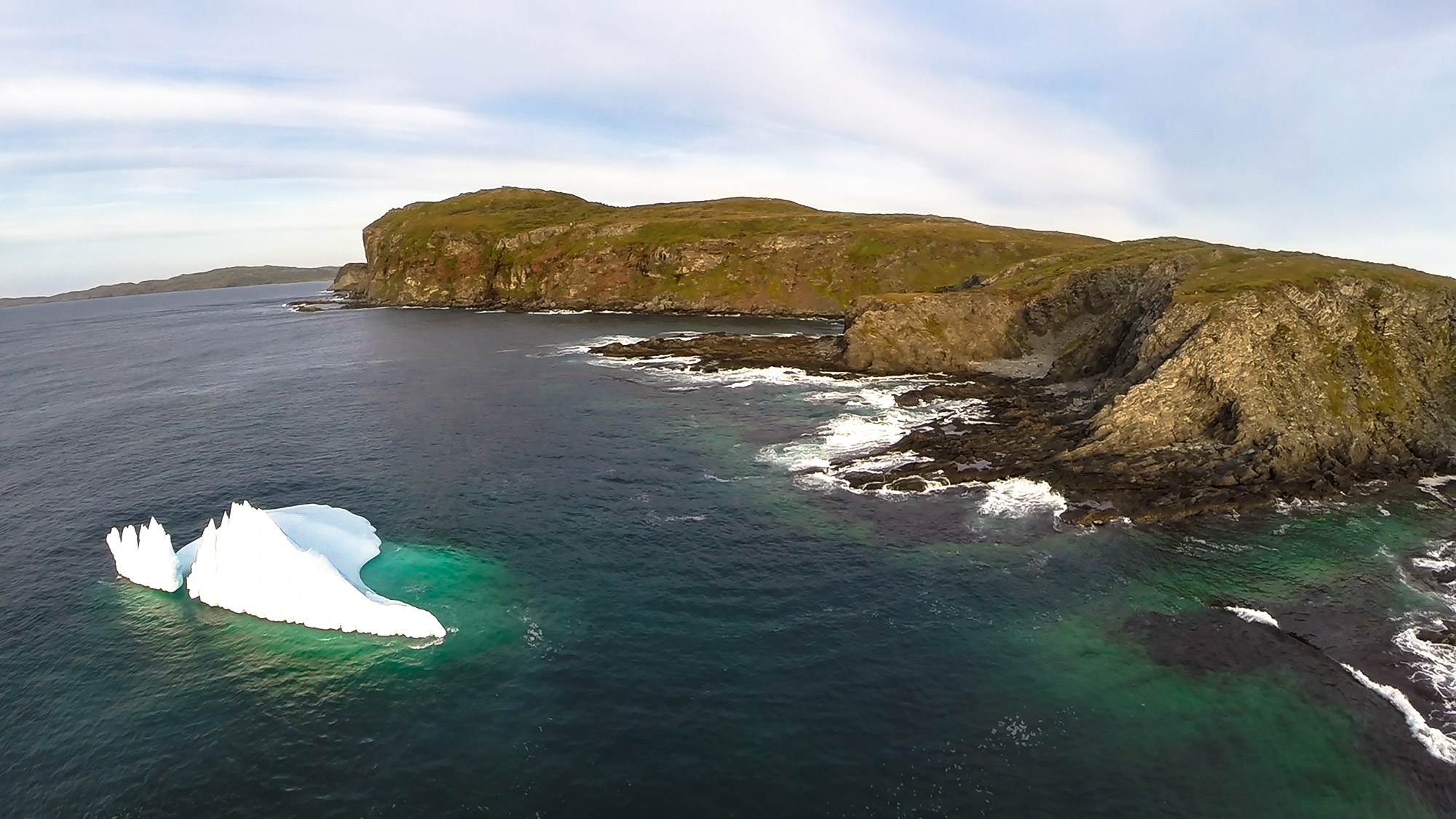
The next day, we rode our bikes down another dirt track to run into some more icebergs that were seemingly way too far away. I learned something that day: I'm reckless with my drone and my range is about 2000 feet away. The shots are so cool though!


After a quick dance with masked women and a lobster bake, we headed back south wishing we had way more time to explore the island. We only scraped the tip of the iceberg (just horrible, lazy word play there but you know you like it) of Newfoundland and we will be back. We HAVE to come back.


Newfoundland

As is reinforced by where we've chosen to travel, Kristen and I are a bit hooked on seeing the ends of the earth. There's a certain feel to those exposed tips of civilization that seem to draw us near. We've felt this rawness in Patagonia, certainly in Tierra del Fuego in South America, on the Dempster Highway while crossing into the town of Inuvik in the Arctic of Canada, on the tiny blip of land in the South Pacific called Ha'apai, and now on the island of Newfoundland.
Don't get me wrong, Newfoundland is very civilized. It's not even all that difficult to get to but this environment is a HARSH place to survive. As evidenced by how the trees along the coast have bent over sideways due to chronic harassment from wicked winds, this is a place of extremes. And let me tell you, it is not lacking for rugged beauty.


There are two options for ferries across the Cabot Straight - a 7 hour ride to the southwest town of Channel Port aux Basques or an over-night, 16 hour ride to the far east town of Placencia. We opted for the shorter as we thought we would have an easy time running around the whole island and back in a week. Turns out Newfoundland is much bigger than we imagined and it's nearly impossible to not stop every few minutes to take a photo.
Our first stop was the national park of Gros Morne. We had originally planned to only stay for one night but ended up there for several days hugely because of the amazing campsite we ended up with.
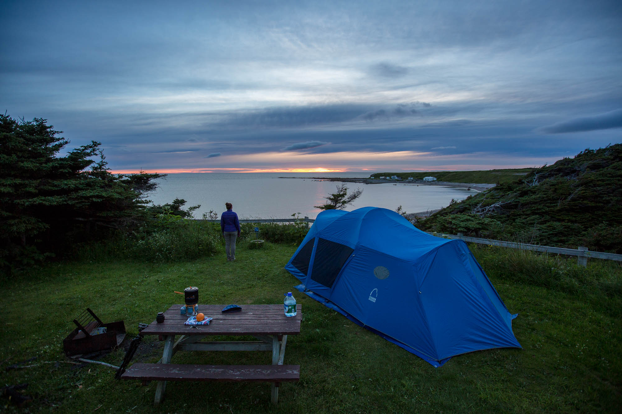
This pic was taken at about 10 pm!
We spent several days just exploring the epicness (not a word?) of Gros Morne. What's interesting about the park is that we found it to be fairly underdeveloped, which is actually pretty awesome. There are some killer back country backpacking routes to absolute wilderness that we would have loved to do if we would have brought the right gear. Next time...


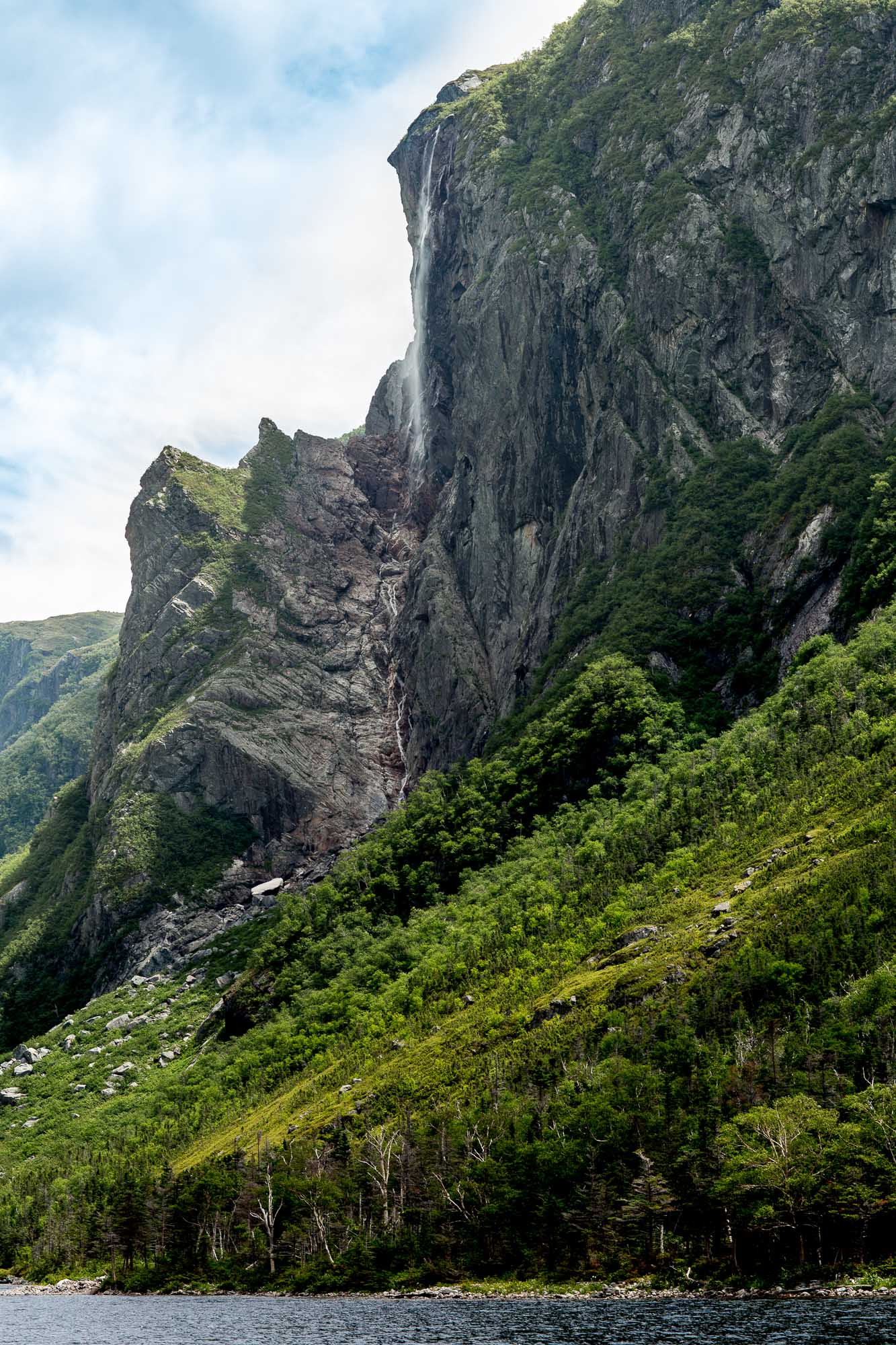
One of the biggest draws of the park is Western Brook Pond. A glacially carved valley of the most grandiose proportions, it is well worth the effort. There are a couple ways to view it, including a 25 mile back-country hike that Kristen and I are definitely coming back for some day.


This is as close as we got to a particular outlook that I really wanted a photo from - I mean, I was straight obsessed. Next time I will not be denied.

We were there during such harsh light and it was still astounding. We're coming back for you Gros Morne. Look out.

